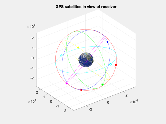
Demonstrate GPS navigation message model.
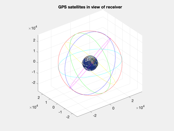
This routine runs the receiver model using the navigation message and GPSOrbit. The satellites in view of the receiver are plotted at each step. ------------------------------------------------------------------------- See also GPSReceiverNav., Map, TimeGUI, Date2JD, RVFromKepler -------------------------------------------------------------------------
Contents
%--------------------------------------------------------------------------
%   Copyright 2003 Princeton Satellite Systems, Inc. All rights reserved.
%--------------------------------------------------------------------------

GPSReceiverNav( 'initialize' );

dT    = 600;
t     = 0:dT:6*3600;
jD0   = Date2JD;
el    = [7000 0.1 0 0 0 0];
[r,v] = RVFromKepler( el, t );
steps = length(t);
tToGoMem.lastJD        = 0;
tToGoMem.lastStepsDone = 0;
tToGoMem.kAve          = 0;
[ rRT, tToGoMem ] = TimeGUI( steps, 0, tToGoMem, 1, dT, 'GPSNavDemo' );
h = NewFig('GPS Satellites in View','renderer','zbuffer');
axis equal;

Each point type is a different GPS satellite
%----------------------------------------------
point = {'bo' 'b*' 'bs' 'b+',...
         'ro' 'r*' 'rs' 'r+',...
         'go' 'g*' 'gs' 'g+',...
         'yo' 'y*' 'ys' 'y+',...
         'co' 'c*' 'cs' 'c+',...
         'mo' 'm*' 'ms' 'm+'};
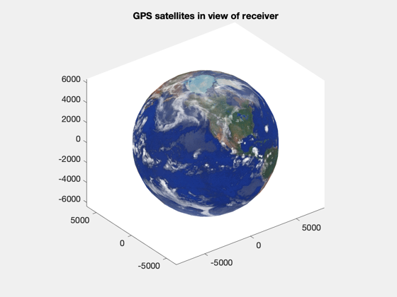
Plot Earth
%------------
p       = Map('Earth');
[x,y,z] = sphere(24);
hSurf   = surface(p.radius*x,p.radius*y,p.radius*z);
% PSS note: using zbuffer renderer for figure is workaround for crash
% caused by the Earth texture applied below
set(hSurf,'CData',double(flipud(p.planetMap)),'FaceColor','texturemap',...
    'edgecolor','none','EdgeLighting', 'none','FaceLighting', 'none')
colormap( p.planetColorMap );
view(3);
title('GPS satellites in view of receiver')
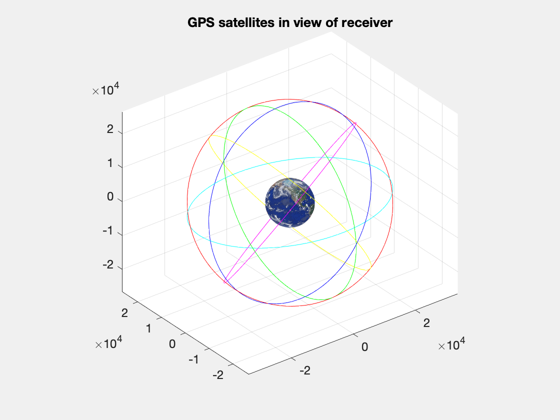
Plot the GPS orbital planes
%-----------------------------
hold on; grid on;
W = [272.847 332.847 32.847 92.847 152.847 212.847]*pi/180;
for k = 1:6
  z = RVFromKepler( [26559.8;55*pi/180;W(k);0;0;0] );
  plot3( z(1,:), z(2,:), z(3,:), point{k*4}(1) )
end
Plot the receiver orbit plane
%-------------------------------
plot3( r(1,1:12), r(2,1:12), r(3,1:12), 'k' )
Step through model updates
%----------------------------
d = [];
p = [];
for k = 1:steps
  [ rRT, tToGoMem ] = TimeGUI( steps, k, tToGoMem, rRT, dT );
  d.jD = jD0 + t(k)/86400;
  d.r  = r(:,k);
  d.v  = v(:,k);
  d.clockError = [1e-8; 1e-11]*randn;
  GPSReceiverNav( 'update', d );
  gPS = GPSReceiverNav( 'get output' );

  % Plot satellites in view
  %------------------------
  figure(h);
  delete(p);
  p = [];
  for j = 1:gPS.nSatellites
    iD = gPS.id(j);
    p(j) = plot3(gPS.rGPS(1,j),gPS.rGPS(2,j),gPS.rGPS(3,j),point{iD},'linewidth',2);
  end
  p(j+1) = plot3(d.r(1),d.r(2),d.r(3),'k*');
end
rotate3d;

TimeGUI('close');


%--------------------------------------
% PSS internal file version information
%--------------------------------------
